
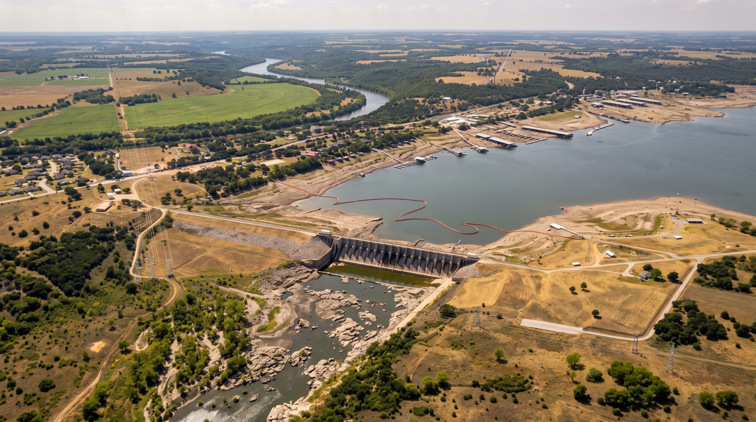
Roughly 65,500 people in Johnson County were told on Aug. 28 that they may water their lawns only twice a week, and only between 6 p.m. and 10 a.m., because a reservoir system 60 miles away had run short enough for its operator to declare a drought stage.
The Johnson County Special Utility District did not make that call on its own. The Brazos River Authority, the state agency that manages water supply along the Brazos, declared Stage 1 drought conditions on Aug. 27 for Lakes Granbury, Whitney, Aquilla and Limestone, and under the district’s own contingency plan that declaration forced its hand. “If a JCSUD Regional Water Provider imposes action, the District must initiate its Drought Contingency Plan,” the utility told customers.
It was one of 14 Texas water systems that notified state regulators of new use limits between Aug. 24 and Sept. 1, and it landed in the same week that Texas recorded its fastest drought expansion in 18 years.
The Texas Water Development Board, the state agency that plans and finances water supply, reported on Aug. 31 that the newest drought map “shows the largest one-week drought expansion since June 2008.” Drought now covers 57 percent of the state, up from 36 percent a week earlier and 20 percent a year ago. “For the first time in three months, more than half the state is impacted by drought,” wrote Mark Wentzel, a hydrologist in the board’s Office of Water Science and Conservation. “Since late July, drought area in the state has expanded 34 percentage points and conditions have degraded at least one category across most of the state.”
The underlying figures come from the U.S. Drought Monitor, a weekly map produced by federal agencies and the University of Nebraska. On the Aug. 25 map, the most recent available, severe drought or worse covered 22.13 percent of Texas, up from 13.74 percent a week earlier. Extreme drought reached 10.45 percent, up from 7.19. The most severe category, exceptional drought, covered 2.49 percent, nearly double the 1.42 percent of the prior week. The monitor estimates 14.48 million Texans live in areas under some level of drought.
The cause, according to the monitor’s own weekly narrative, was heat that would not break. “Under a persistent heat dome ridge maintaining mostly dry conditions and unrelenting heat, widespread rapid drought expansion continued for another week across the South region,” the authors wrote. Weekly high temperatures topped 100 degrees across nearly the whole region and exceeded 110 along the Texas-Oklahoma line. Observers reported “dry stock ponds, wilting trees, dust storms, and elevated wildfire activity.”
The consequences show up in the notices utilities file with the Texas Commission on Environmental Quality, the state’s pollution and drinking-water regulator, which keeps a running list of public water systems limiting use. The West Travis County Public Utility Agency, serving about 35,700 people, moved to the third stage of its plan effective Aug. 25 after customers failed to hit the 20 percent cut its previous stage required. Outdoor watering there is now limited to one day a week, from 6 a.m. to 10 a.m., and the agency said flatly that “no variances to the Stage 3 watering schedule will be approved.” Two Hays County water districts and the Reunion Ranch district near Dripping Springs filed notices on Aug. 25 and Aug. 26. Bethany Special Utility District, also in Johnson County, went to voluntary restrictions on Aug. 28.
Fort Bend County’s fast-growing city of Fulshear, which serves about 34,000 people, moved to voluntary conservation effective Aug. 31. “By implementing Stage 1 now, the city is taking a proactive step to reduce demand before conditions warrant progression to Stage 2,” it told residents.
Statewide storage has slipped with it. How full the state’s water-supply reservoirs are stood at 74.3 percent on Sept. 2, down from 75.0 percent a week earlier, 77.8 percent a month earlier and 77.5 percent a year ago. Fourteen reservoirs remain below a quarter full, all of them west of Interstate 35, including E.V. Spence near Robert Lee at 9.8 percent and O.C. Fisher at San Angelo at 11.6 percent.
Tropical Storm Edouard came ashore on the upper coast on Sept. 1, but its rain fell hundreds of miles east of the emptiest lakes. The Dispatch has reported on how thin margins have already forced emergency action in the Nueces basin. The next drought map, reflecting conditions through Sept. 1, is released Sept. 3, and it will be the first to show whether the storm bought any of the state a reprieve.